A new satellite mapping system has been launched by scientists at the University of Stirling in collaboration with the Scottish Environment Protection Agency (SEPA), promising to revolutionise the way Scotland responds to emergencies such as floods, wildfires, landslides, and oil spills.
The Satellite Emergency Mapping Service (SEMS) will assist responders during extreme weather events by using state-of-the-art satellite imaging technology to deliver real-time, high-resolution data. That data will be made available to all responders in Scotland year round, with an on-call provision available 24 hours a day.
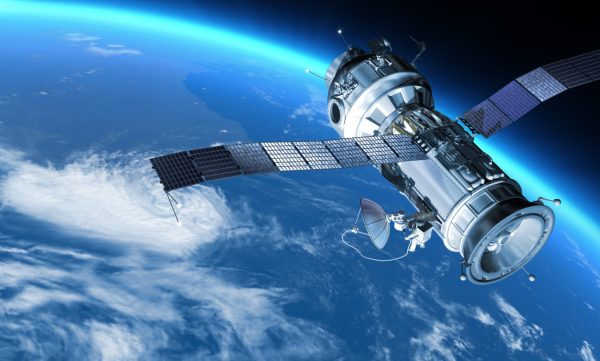
The new service forms part of the International Charter Space and Major Disasters, a global network of over 270 satellites from 17 Charter members around the world, working to support disaster relief.
Currently, SEPA is the only organisation in Scotland able to activate the Charter and give emergency responders access to the critical satellite imagery.
With those images, first responders can assess the full scope of damage, find critical hotspots, and prioritise areas for intervention, even in areas where weather or hazardous conditions make ground assessments impossible.
“The ability to access stable, consistent, near real-time data from space adds an unprecedented layer of precision to our efforts in managing environmental risks. The technology’s potential for both immediate crisis management and long-term planning is immense,” said Claire Neil, principal scientist at SEPA.
The service will also contribute to future crisis preparedness, using baseline data collected by satellites to model potential scenarios, inform long-term resilience planning, and develop more effective response strategies.
Key to the success of this new service is a collaboration with Forth-ERA, part of Scotland’s International Environment Centre based at the University of Stirling, which has developed the UK’s first emergency flood mapping service based on satellite data.
Dr Armando Marino, associate professor of Earth observation, said: “We have used state-of-the art methods, including artificial intelligence, to develop a sophisticated approach to mapping flood waters from space. Our system uses data from a range of radar satellites that can penetrate clouds to provide detailed maps of floods as they happen.”
This launch comes on the heels of last week’s successful deployment of Sentinel-2C, the third satellite in the Copernicus Sentinel 2 mission. Equipped with UK-built technology, this European satellite will collect extensive data as part of Europe’s Earth observation program, helping respond to natural disasters, monitor pollution and inform action on climate change.
Source: DIGIT